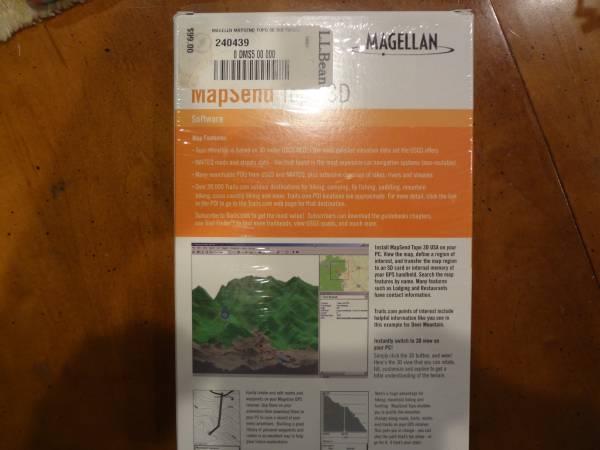
Topo elevation is based on 30 meter USGS NED - the most detailed elevation data set the USGS offers
NAVTEQ roads and streets data - like that found in the most expensive car navigation systems (non-routable)
Many searchable POI's from USGS and NAVTEQ, plus extensive coverage of lakes, rivers, and streams
Over 30,000 Trails.com outdoor destinations for hiking, camping, fly fishing, paddling, mountain biking, cross country skiing and more. Trails.com POI locations are approximate. For more detail, click the link in the POI to go to the Trails.com web page for that destination.
If you have any questions regarding this item, please contact us via message and we will get back to you as soon as we can.